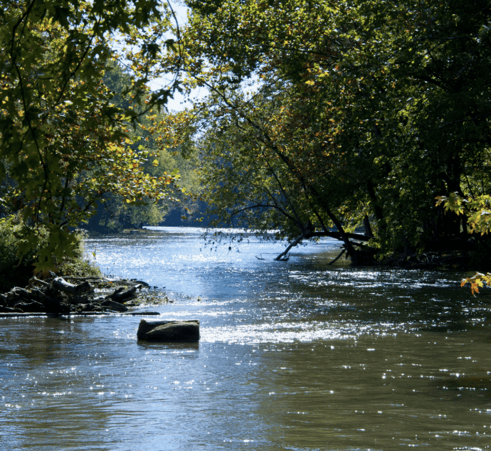
**The confirmed crest of 21.18 feet at the White River near Nora (82nd Street) gauge on August 15, 2026, during widespread heavy rainfall has driven the near-certain market-implied odds for an over-20-foot peak.** This reading, reported by NOAA and local officials and just below the 1913 all-time record of 22.4 feet, qualifies as major flooding on the relevant stage thresholds and aligns with crests above 20 feet at other Indianapolis-area gauges. Current USGS and NOAA observations show the river receding rapidly to around 4 feet with no flood warnings or significant additional rainfall forecast through early September, confirming the August event as the seasonal peak. Only an unexpected secondary surge from unmodeled heavy precipitation could alter resolution.
Experimental AI-generated summary referencing Polymarket data. This is not trading advice and plays no role in how this market resolves. · UpdatedWhat will the White River at Indianapolis peak at during the August 2026 floods?
What will the White River at Indianapolis peak at during the August 2026 floods?
Over 20 ft 98.0%
17–20 ft <1%
Under 14 ft <1%
14–17 ft <1%
$14,630 Vol.
$14,630 Vol.
Under 14 ft
<1%
14–17 ft
<1%
17–20 ft
<1%
Over 20 ft
98%
Over 20 ft 98.0%
17–20 ft <1%
Under 14 ft <1%
14–17 ft <1%
$14,630 Vol.
$14,630 Vol.
Under 14 ft
<1%
14–17 ft
<1%
17–20 ft
<1%
Over 20 ft
98%
Resolution is based on the peak gage height value recorded during the specified window as published by USGS at https://waterdata.usgs.gov/monitoring-location/USGS-03353000#dataTypeId=continuous-00065-0&period=P7D&showFieldMeasurements=true. USGS real-time data is provisional and subject to revision; the last provisional value published by USGS for the specified window as of 11:59 PM EDT September 1, 2026 governs, regardless of any USGS revision, approval, or finalization published after that time. For reference, NWS designates flood stage at this location as 16.0 feet. The primary resolution source is USGS data for streamgage 03353000; however, a consensus of credible reporting citing USGS data may also be used.
Market Opened: Aug 14, 2026, 2:27 PM ET
Resolver
0x69c47De9D...Resolution is based on the peak gage height value recorded during the specified window as published by USGS at https://waterdata.usgs.gov/monitoring-location/USGS-03353000#dataTypeId=continuous-00065-0&period=P7D&showFieldMeasurements=true. USGS real-time data is provisional and subject to revision; the last provisional value published by USGS for the specified window as of 11:59 PM EDT September 1, 2026 governs, regardless of any USGS revision, approval, or finalization published after that time. For reference, NWS designates flood stage at this location as 16.0 feet. The primary resolution source is USGS data for streamgage 03353000; however, a consensus of credible reporting citing USGS data may also be used.
Resolver
0x69c47De9D...**The confirmed crest of 21.18 feet at the White River near Nora (82nd Street) gauge on August 15, 2026, during widespread heavy rainfall has driven the near-certain market-implied odds for an over-20-foot peak.** This reading, reported by NOAA and local officials and just below the 1913 all-time record of 22.4 feet, qualifies as major flooding on the relevant stage thresholds and aligns with crests above 20 feet at other Indianapolis-area gauges. Current USGS and NOAA observations show the river receding rapidly to around 4 feet with no flood warnings or significant additional rainfall forecast through early September, confirming the August event as the seasonal peak. Only an unexpected secondary surge from unmodeled heavy precipitation could alter resolution.
Experimental AI-generated summary referencing Polymarket data. This is not trading advice and plays no role in how this market resolves. · Updated

Beware of external links.
Beware of external links.
Frequently Asked Questions