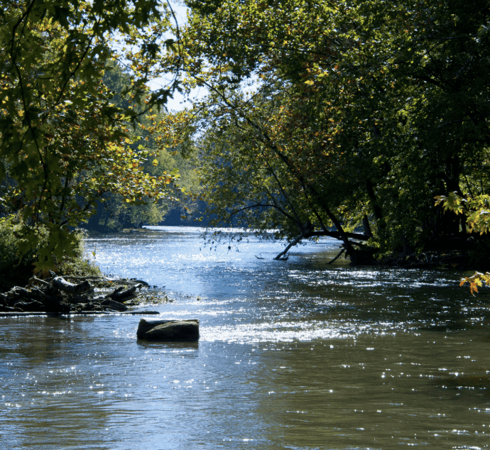
**Strong NWS and USGS gauge data confirm the White River at Indianapolis crested at 21.18 ft near Nora on August 15, 2026—well into major flood stage above the 20 ft moderate threshold—driving the 98.4% market-implied probability for the Over 20 ft outcome.** This peak aligned with saturated soils, heavy regional rainfall from a slow-moving system, and levee stress in areas like Broad Ripple and Ravenswood, consistent with the 22.4 ft record set in 1913. Current stages have receded below 8 ft across Indianapolis gauges with no additional crests forecast, leaving minimal uncertainty. The only realistic challenges would involve post-event data revisions or a disputed definition of the precise Indianapolis reference gauge, though official provisional records strongly support the observed maximum.
Experimental AI-generated summary referencing Polymarket data. This is not trading advice and plays no role in how this market resolves. · UpdatedWhat will the White River at Indianapolis peak at during the August 2026 floods?
What will the White River at Indianapolis peak at during the August 2026 floods?
Over 20 ft 98.4%
Under 14 ft <1%
17–20 ft <1%
14–17 ft <1%
$14,630 Vol.
$14,630 Vol.
Under 14 ft
<1%
14–17 ft
<1%
17–20 ft
<1%
Over 20 ft
98%
Over 20 ft 98.4%
Under 14 ft <1%
17–20 ft <1%
14–17 ft <1%
$14,630 Vol.
$14,630 Vol.
Under 14 ft
<1%
14–17 ft
<1%
17–20 ft
<1%
Over 20 ft
98%
Resolution is based on the peak gage height value recorded during the specified window as published by USGS at https://waterdata.usgs.gov/monitoring-location/USGS-03353000#dataTypeId=continuous-00065-0&period=P7D&showFieldMeasurements=true. USGS real-time data is provisional and subject to revision; the last provisional value published by USGS for the specified window as of 11:59 PM EDT September 1, 2026 governs, regardless of any USGS revision, approval, or finalization published after that time. For reference, NWS designates flood stage at this location as 16.0 feet. The primary resolution source is USGS data for streamgage 03353000; however, a consensus of credible reporting citing USGS data may also be used.
Market Opened: Aug 14, 2026, 2:27 PM ET
Resolver
0x69c47De9D...Resolution is based on the peak gage height value recorded during the specified window as published by USGS at https://waterdata.usgs.gov/monitoring-location/USGS-03353000#dataTypeId=continuous-00065-0&period=P7D&showFieldMeasurements=true. USGS real-time data is provisional and subject to revision; the last provisional value published by USGS for the specified window as of 11:59 PM EDT September 1, 2026 governs, regardless of any USGS revision, approval, or finalization published after that time. For reference, NWS designates flood stage at this location as 16.0 feet. The primary resolution source is USGS data for streamgage 03353000; however, a consensus of credible reporting citing USGS data may also be used.
Resolver
0x69c47De9D...**Strong NWS and USGS gauge data confirm the White River at Indianapolis crested at 21.18 ft near Nora on August 15, 2026—well into major flood stage above the 20 ft moderate threshold—driving the 98.4% market-implied probability for the Over 20 ft outcome.** This peak aligned with saturated soils, heavy regional rainfall from a slow-moving system, and levee stress in areas like Broad Ripple and Ravenswood, consistent with the 22.4 ft record set in 1913. Current stages have receded below 8 ft across Indianapolis gauges with no additional crests forecast, leaving minimal uncertainty. The only realistic challenges would involve post-event data revisions or a disputed definition of the precise Indianapolis reference gauge, though official provisional records strongly support the observed maximum.
Experimental AI-generated summary referencing Polymarket data. This is not trading advice and plays no role in how this market resolves. · Updated

Beware of external links.
Beware of external links.
Frequently Asked Questions