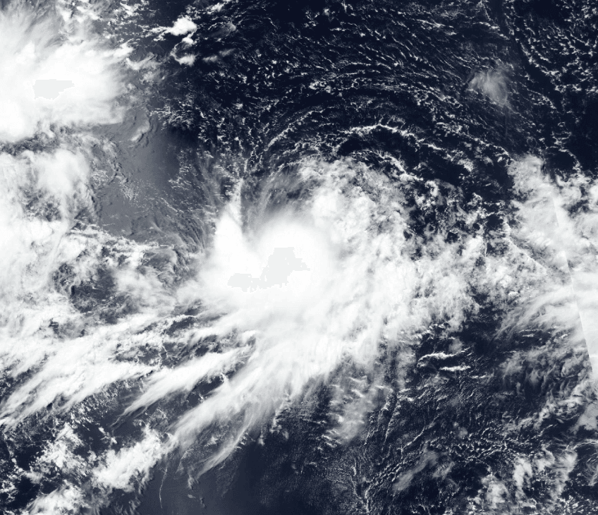
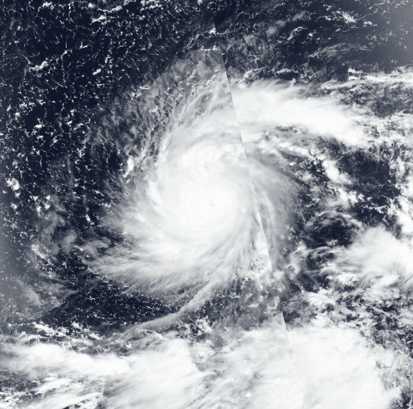
Typhoon Saudel has tracked westward across the Philippine Sea after crossing the Northern Marianas and Ryukyu Islands, where it produced heavy rainfall, power outages, and minor injuries before entering the East China Sea. As of late August 26, the system sits near 28°N 125°E with maximum sustained winds near 75 knots and is undergoing gradual weakening from easterly shear and drier air. Steering by a strengthening subtropical ridge over northern China favors a continued west-southwestward path, with multi-model consensus and JTWC guidance converging on landfall along China’s southeast coast in southern Zhejiang Province within 24–36 hours. Track spread remains limited, though one ensemble member projects a more southerly trajectory toward Fujian or northern Guangdong. The storm is expected to weaken further before reaching shore due to frictional effects and reduced ocean heat content, limiting post-landfall impacts inland.
Experimental AI-generated summary referencing Polymarket data. This is not trading advice and plays no role in how this market resolves. · UpdatedWhere will Tropical Storm Saudel make landfall?
Where will Tropical Storm Saudel make landfall?
$72,211 Vol.
China
95%
Japan
3%
South Korea
2%
$72,211 Vol.
China
95%
Japan
3%
South Korea
2%
A market resolves "Yes" if the center of Saudel's circulation physically crosses the coastline of that country, as plotted by the Japan Meteorological Agency's (JMA) position advisories placing the center over that country's land (https://www.jma.go.jp/bosai/map.html#contents=typhoon&lang=en), or as confirmed by credible international news reporting.
JMA is the primary resolution source: if a JMA advisory plots the center over a country's land, that market resolves "Yes" regardless of what other sources say; if no JMA advisory plots the center on land but credible reporting confirms the center crossed the coastline between discrete advisory fixes, the market also resolves "Yes." A disagreement exists only when a JMA advisory and credible reporting make contradictory claims about the storm's position at the same point in time; in that case, JMA is the default resolution source.
Territorial definitions:
"China" refers to all territory under the administration of the People's Republic of China, including the Special Administrative Regions of Hong Kong and Macau, and excluding Taiwan.
"Japan" refers to all territory under the administration of Japan, including the four main islands (Honshu, Hokkaido, Kyushu, and Shikoku), Okinawa, the Ryukyu Islands, the Ogasawara Islands, and all other Japanese islands.
"South Korea" refers to all territory under the administration of the Republic of Korea, including Jeju Island and all outlying islands.
The most recently issued JMA advisory prior to the crossing must classify Saudel as a tropical cyclone (tropical depression or higher); a crossing while the system is extratropical, dissipated, or absorbed does not count. For every market, the classification and position determination in effect immediately prior to the qualifying crossing are fixed by that single JMA advisory and are not changed by any later real-time advisory, reclassification, or post-season best-track reanalysis.
Market Opened: Aug 20, 2026, 11:14 AM ET
Resolution Source
https://www.jma.go.jp/bosai/map.html#contents=typhoon&lang=enResolver
0x65070BE91...A market resolves "Yes" if the center of Saudel's circulation physically crosses the coastline of that country, as plotted by the Japan Meteorological Agency's (JMA) position advisories placing the center over that country's land (https://www.jma.go.jp/bosai/map.html#contents=typhoon&lang=en), or as confirmed by credible international news reporting.
JMA is the primary resolution source: if a JMA advisory plots the center over a country's land, that market resolves "Yes" regardless of what other sources say; if no JMA advisory plots the center on land but credible reporting confirms the center crossed the coastline between discrete advisory fixes, the market also resolves "Yes." A disagreement exists only when a JMA advisory and credible reporting make contradictory claims about the storm's position at the same point in time; in that case, JMA is the default resolution source.
Territorial definitions:
"China" refers to all territory under the administration of the People's Republic of China, including the Special Administrative Regions of Hong Kong and Macau, and excluding Taiwan.
"Japan" refers to all territory under the administration of Japan, including the four main islands (Honshu, Hokkaido, Kyushu, and Shikoku), Okinawa, the Ryukyu Islands, the Ogasawara Islands, and all other Japanese islands.
"South Korea" refers to all territory under the administration of the Republic of Korea, including Jeju Island and all outlying islands.
The most recently issued JMA advisory prior to the crossing must classify Saudel as a tropical cyclone (tropical depression or higher); a crossing while the system is extratropical, dissipated, or absorbed does not count. For every market, the classification and position determination in effect immediately prior to the qualifying crossing are fixed by that single JMA advisory and are not changed by any later real-time advisory, reclassification, or post-season best-track reanalysis.
Resolution Source
https://www.jma.go.jp/bosai/map.html#contents=typhoon&lang=enResolver
0x65070BE91...Typhoon Saudel has tracked westward across the Philippine Sea after crossing the Northern Marianas and Ryukyu Islands, where it produced heavy rainfall, power outages, and minor injuries before entering the East China Sea. As of late August 26, the system sits near 28°N 125°E with maximum sustained winds near 75 knots and is undergoing gradual weakening from easterly shear and drier air. Steering by a strengthening subtropical ridge over northern China favors a continued west-southwestward path, with multi-model consensus and JTWC guidance converging on landfall along China’s southeast coast in southern Zhejiang Province within 24–36 hours. Track spread remains limited, though one ensemble member projects a more southerly trajectory toward Fujian or northern Guangdong. The storm is expected to weaken further before reaching shore due to frictional effects and reduced ocean heat content, limiting post-landfall impacts inland.
Experimental AI-generated summary referencing Polymarket data. This is not trading advice and plays no role in how this market resolves. · Updated

Beware of external links.
Beware of external links.
Frequently Asked Questions