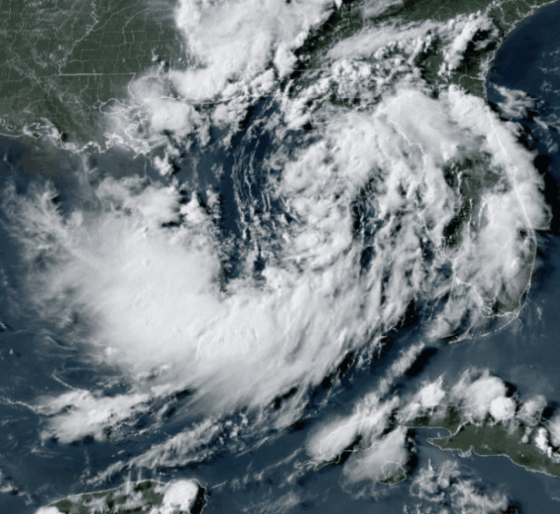
Tropical Storm Karina, currently at 45-50 mph sustained winds with a 1000 mb central pressure well offshore southwest Mexico, sits in a favorable environment of low wind shear and abundant moisture that supports steady intensification according to National Hurricane Center analyses. Official forecasts call for Karina to reach hurricane strength (74 mph) over the weekend as it tracks northwestward, with SHIPS-RII guidance indicating roughly a 60% chance of substantial wind increases in the next 48 hours and multiple models projecting further strengthening. The storm lacks a tight inner core at present, which has led the NHC to moderate its near-term intensity outlook relative to some ensemble runs, introducing modest uncertainty around the exact timing. Trader consensus at 76% implied probability for hurricane status reflects these conditions and the high likelihood of crossing the 64-knot threshold before any later weakening begins.
Experimental AI-generated summary referencing Polymarket data. This is not trading advice and plays no role in how this market resolves. · UpdatedWill Tropical Storm Karina strengthen to a hurricane?
Will Tropical Storm Karina strengthen to a hurricane?
Karina reaches hurricane strength if it attains a maximum sustained wind speed (1-minute average) of at least 74 mph, corresponding to Category 1 or higher on the Saffir-Simpson Hurricane Wind Scale, as reported by the National Hurricane Center. Reaching hurricane strength at any single advisory during the market's timeframe is sufficient to resolve this market to "Yes", regardless of the storm's intensity at other times.
The primary resolution source for this market will be the operational advisories issued by the National Hurricane Center (https://www.nhc.noaa.gov/). If Karina is located outside the National Hurricane Center's area of responsibility, the maximum sustained wind speed reported by the responsible Regional Specialized Meteorological Center will be used.
This market will resolve based on the operational advisory data issued while the storm is active. Any revisions to the storm's peak intensity or category published later in a post-storm best-track report or Tropical Cyclone Report will not be considered for this market's resolution.
If Karina does not reach hurricane strength by September 5, 2026, 11:59 PM ET, or dissipates before reaching hurricane strength, this market will resolve to "No".
Market Opened: Aug 27, 2026, 5:19 PM ET
Resolution Source
https://www.nhc.noaa.gov/Resolver
0x65070BE91...Karina reaches hurricane strength if it attains a maximum sustained wind speed (1-minute average) of at least 74 mph, corresponding to Category 1 or higher on the Saffir-Simpson Hurricane Wind Scale, as reported by the National Hurricane Center. Reaching hurricane strength at any single advisory during the market's timeframe is sufficient to resolve this market to "Yes", regardless of the storm's intensity at other times.
The primary resolution source for this market will be the operational advisories issued by the National Hurricane Center (https://www.nhc.noaa.gov/). If Karina is located outside the National Hurricane Center's area of responsibility, the maximum sustained wind speed reported by the responsible Regional Specialized Meteorological Center will be used.
This market will resolve based on the operational advisory data issued while the storm is active. Any revisions to the storm's peak intensity or category published later in a post-storm best-track report or Tropical Cyclone Report will not be considered for this market's resolution.
If Karina does not reach hurricane strength by September 5, 2026, 11:59 PM ET, or dissipates before reaching hurricane strength, this market will resolve to "No".
Resolution Source
https://www.nhc.noaa.gov/Resolver
0x65070BE91...Tropical Storm Karina, currently at 45-50 mph sustained winds with a 1000 mb central pressure well offshore southwest Mexico, sits in a favorable environment of low wind shear and abundant moisture that supports steady intensification according to National Hurricane Center analyses. Official forecasts call for Karina to reach hurricane strength (74 mph) over the weekend as it tracks northwestward, with SHIPS-RII guidance indicating roughly a 60% chance of substantial wind increases in the next 48 hours and multiple models projecting further strengthening. The storm lacks a tight inner core at present, which has led the NHC to moderate its near-term intensity outlook relative to some ensemble runs, introducing modest uncertainty around the exact timing. Trader consensus at 76% implied probability for hurricane status reflects these conditions and the high likelihood of crossing the 64-knot threshold before any later weakening begins.
Experimental AI-generated summary referencing Polymarket data. This is not trading advice and plays no role in how this market resolves. · Updated
Beware of external links.
Beware of external links.
Frequently Asked Questions